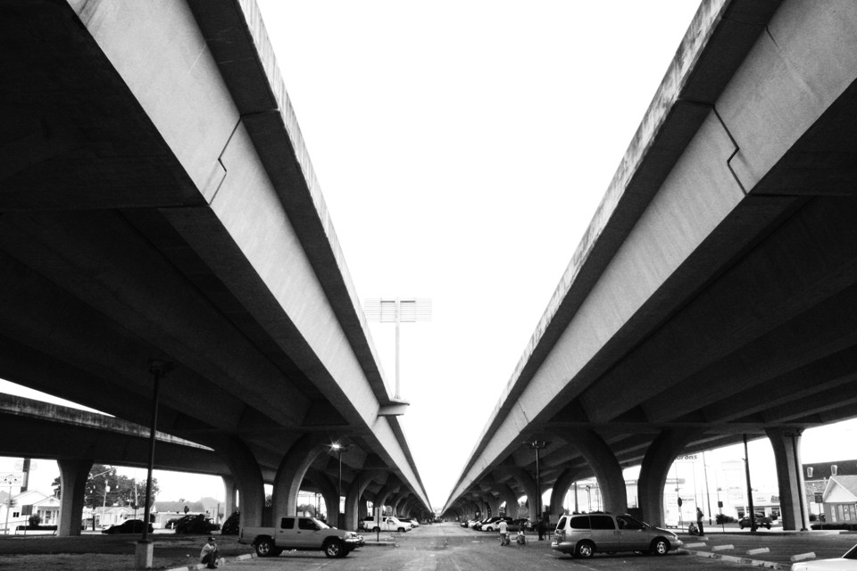
Alana Semuels: Highway Teardown Opportunities

The Atlantic:

As some of the highways reach the end of their useful life, cities and counties are debating the idea of tearing down urban freeways and replacing them with boulevards, streets, and new neighborhoods. Though it might sound like a headache, tearing down freeways in city centers can reduce air pollution and create parks and public spaces that bring cities together, according to Shelton.

“The removal of urban interstates is a growing trend in the U.S.,” Shelton and Gann wrote. This trend, if carried to its logical extreme, can yield sites of intervention that hold the promise of remaking the American city.”

It is important for citizens to consider and debate the merits of highway deconstruction. Often it may be the best option for a community.

Jason G. Goldman: Extinction Happens on the Margins

Conservation:

Keil and his team noted that habitats can be lost in different spatial or geometrical patterns. Is extinction more likely if habitats are lost from the edge of a landscape toward the center or if they’re lost starting from the center? What if habitat loss is not quite so orderly, but more random? To find out, the researchers created four theoretical models that combined the geometry of habitat loss with species extinction, then compared them to bird, mammal, and amphibian distributions in nine real world regions to see which was most useful at predicting the impacts of habitat loss...

Of greater importance to those who aren’t just biogeography theory wonks, the researchers also discovered that extinctions are more likely to occur when landscapes are destroyed from the outside edge towards the center (such as in sea level rise) than if habitats are lost in the reverse direction (such as in urban sprawl). And the geometrical direction of habitat loss actually played a stronger role in determining the loss of species richness than the overall area lost. In other words, a little habitat loss on the edge of a region was worse for biodiversity than more habitat loss towards the center.

Casey Jaywork: Anatomy of a NIMBY

Seattle News:

The language is apocalyptic; the tone, desperate. “Cancer,” “canyons of darkness,” “anguish, hopelessness, and loss.”

But these aren’t war-zone dispatches, nor recollections of a natural disaster. They’re public comments from a Seattle City Council’s land-use-committee hearing held earlier this year. It was there that aggrieved homeowners walked up to one of two smooth wooden podiums in City Hall’s Council chambers to vent the vexation they felt as they watched their communities “being torn apart” by development, as Capitol Hill resident the Venerable Dhammadinna put it.

“Elderly homeowners, the gay community, older women, and families are no longer welcome,” she told the Council, referring to the city’s mixed-density residential areas. “Our neighborhoods are shadowed by tall, bulky buildings. Gardens are being cemented, trees cut down. Those who can’t carry their bags of groceries up and down the hills are not invited into this dystopia.”

The testimony was so consistent—or redundant, depending on your position—that a drinking game could have been fashioned from the proceedings: Take one shot whenever someone said “neighborhood character,” two for “transient.”

An interesting article of Seattle redevelopment dynamics and politics. I was struck by the sameness of the issues across many places.

Matt Steele: Use Cost:Benefit Analysis to Select Transit Routes

streets.mn

As the Twin Cities proceeds with plans to build over three billion dollars worth of rail extensions for the Blue and Green Lines, many transit advocates question if we’re missing an opportunity for transformative projects that lift up urban neighborhoods on their routes between suburban park & rides and the downtown core...

It comes down to this: Let’s discuss costs and benefits in parallel until shovels hit the ground, rather than committing to a “value” alignment and then being all ¯\_(ツ)_/¯ when the cost goes up 50% or more. For things like tunnels under parks and bridges over the Grimes Pond which are being planned precisely because these low-development corridors were supposedly going to make the chosen alignment more cost effective. If we’re going to build viaducts and tunnels, let’s at least do it in a way that brings stations to the doorsteps of tens of thousands more transit riders.

How to Simulate the Future of a Watershed

University of Wisconsin: Water Sustainability and Climate

Using a tool similar to a computer game, Melissa Motew is peering into the future. Motew is a modeler. She uses computers and mathematics to simulate ecosystems and make sense of nature.

Her task is to shed light on what the Madison area’s environment could be like by the year 2070 and what this might mean for human well-being—how much food could we grow, how well could the land withstand floods and will we have clean lakes yet?

“We want to track what’s happening through time, so we can understand all of the changes,” says Motew.

The steps the article outlines are helpful: (1)start with stories, (2)simulate the system, and (3)ask what-if questions.